New trail added on 11/01/2021
Vilnius (401 km²) is bigger than Paris (105,4 km² ) or Amsterdam (219,3 km²) by size, but only half a million people live in the city. What does that mean? Vilnius has a lot of space. The green areas like forests and parks cover almost half of the territory of the city. If you are wondering what to do outside on a beautiful day in Vilnius, you might consider checking one the hiking trails within the city that you can easily access with public transport or Uber/Bolt. We recommend you these four the most interesting and the most accessible hiking trails in Vilnius:
-
Pūčkoriai Cognitive-Historical Path (around 5 km)
-
Sapieginės Cognitive Path (around 5 km)
-
Vilnius Calvary Way of the Cross in Verkiai Regional Park (around 7 km)
-
Cognitive Path of Old Villages (around 10 km)
Pūčkoriai Cognitive-Historical Path

Distance: around 5,2 km (shorter options are possible)
Trail starts at Pūčkorių kelias - Google maps
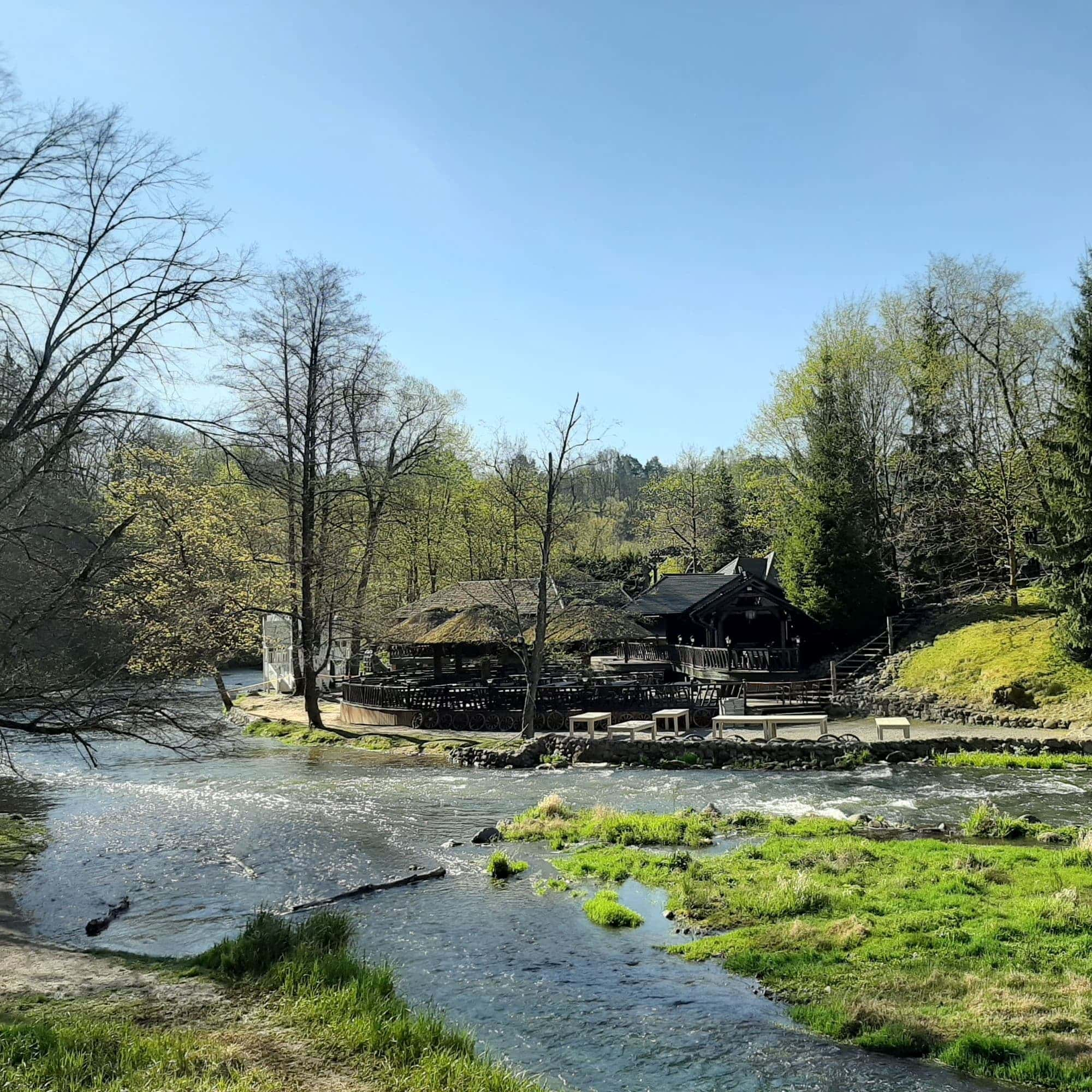
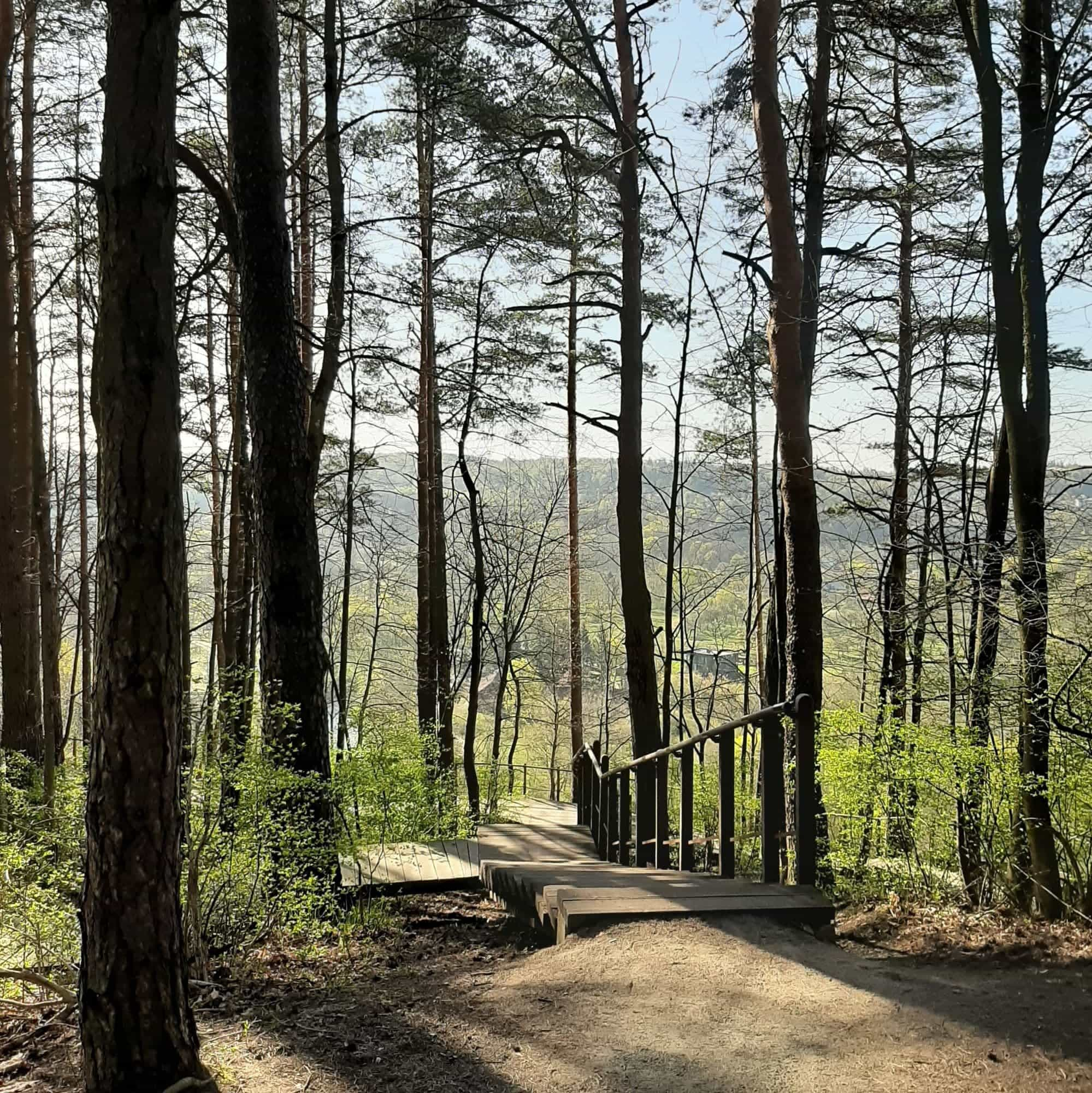
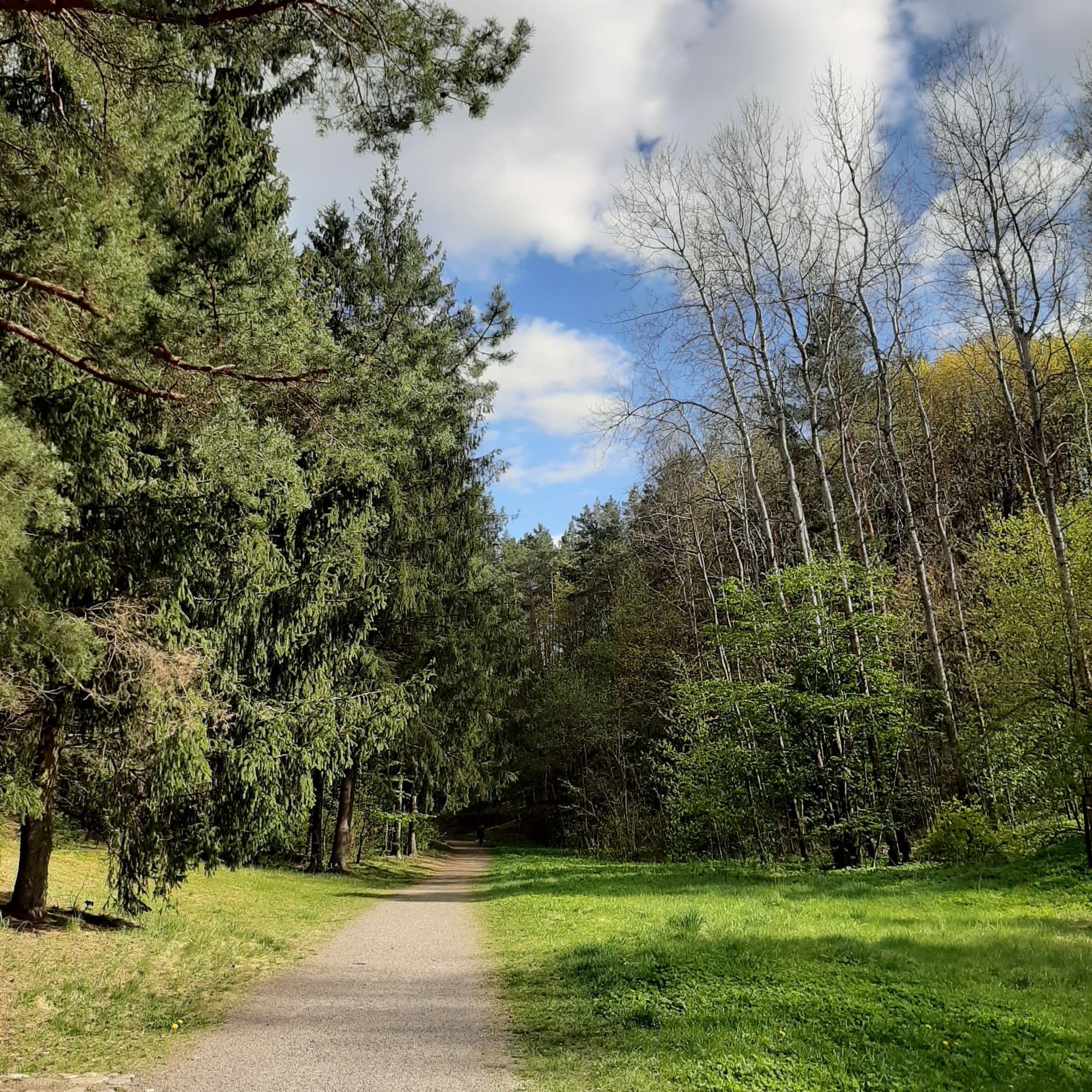
This is one of the most popular weekend spots for families in Vilnius. The major attraction is Pūčkorių Exposure – a geological monument 65 meters high and 250 meters wide. From the observation point on the top of the exposure you can see an amazing view of Vilnelė River and surrounding areas. However if you want to see the exposure itself, it is the best seen from the river valley once you go down the hill.
This path offers some nice views of the river and forest. You mainly walk on the forest path, but there are also quite a lot of wooden stairs. You can enjoy historical landmarks on the way like an old French mill and Puckoriai manor. There is an entertainment and leisure centre Belmontas popular among local families on the weekend on the way. You can stop in a café there for a cup of tea/coffee. If you take the full path you can go up Pūčkoriai mound to enjoy the views of forests and Disk Golf (Frisbee golf) park. Also, you can try to guess what time it is using a wooden sundial J Pūčkoriai cognitive path is definitely one of the best things to do outside in Vilnius!
How to get to this hiking trail from Stotis bus stop (the main bus & train stations - google maps):
-
Take Bus No. 74 (direction Parko g.) at bus stop Stotis (E);
-
Get off at Pūčkorių atodanga bus stop (16 min ride).
-
Once you get off at the bus stop you will need to walk back for around 5 min to the parking lot where an observation point and hiking trail starts. You will see the parking lot easily as there are only forests around and it is next to the road.
-
Now you can either start the hike from the left or right. It is a circular one. There are some information stands on the way (in Lithuanian) but maps are pretty clear showing you which path to choose. I would recommend starting from the right ;) Sometimes you will see a sign of three lines (white,red,white) on the trees. This means you are on the right way. But it is only at the first part of the path.
-
Once you have walked the path, you will be back at the same observation point and parking lot. To go back to Vilnius you need to take the same bus No. 74 (direction Stotis) on the bus stop Pūčkorių atodanga on the other side of the road.
Sapieginės Cognitive Path
Distance: 5.25 km
Trail starts at: Žolyno g. 35 - Google maps
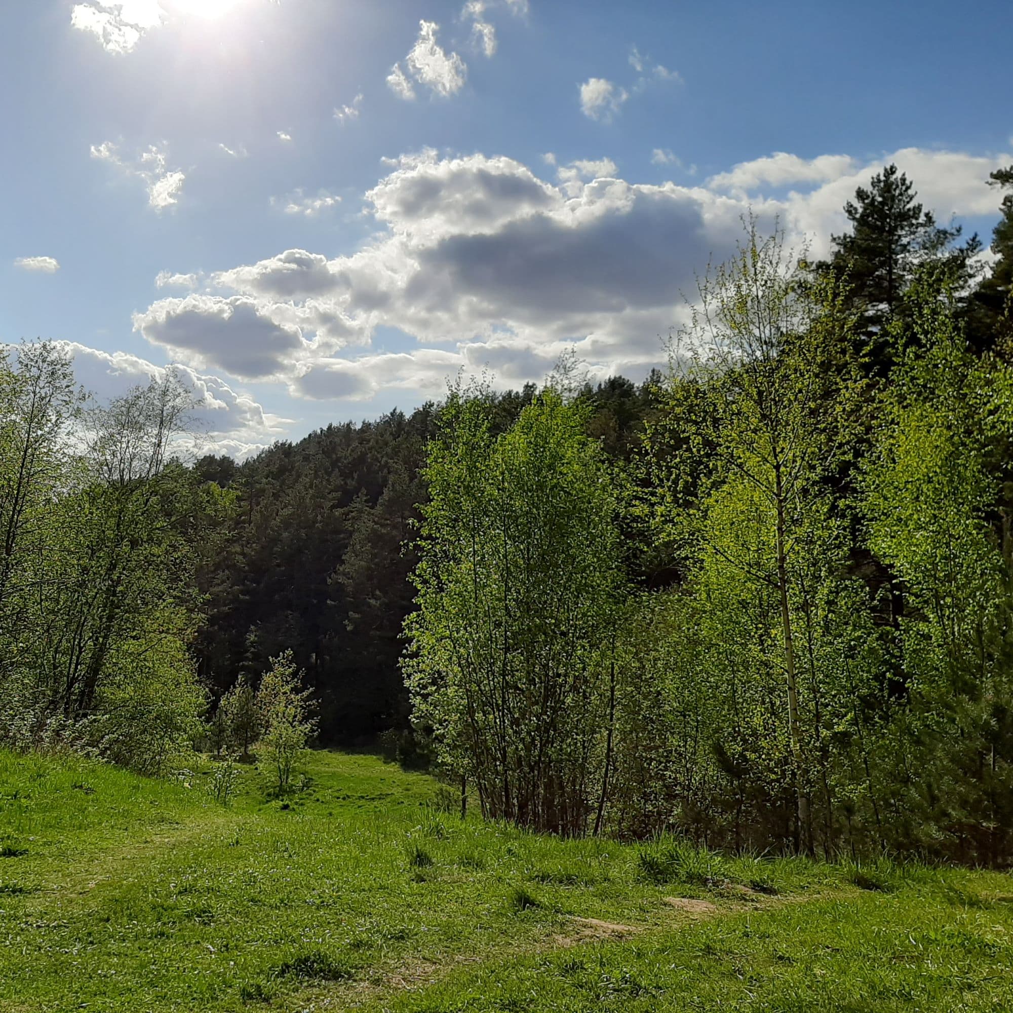
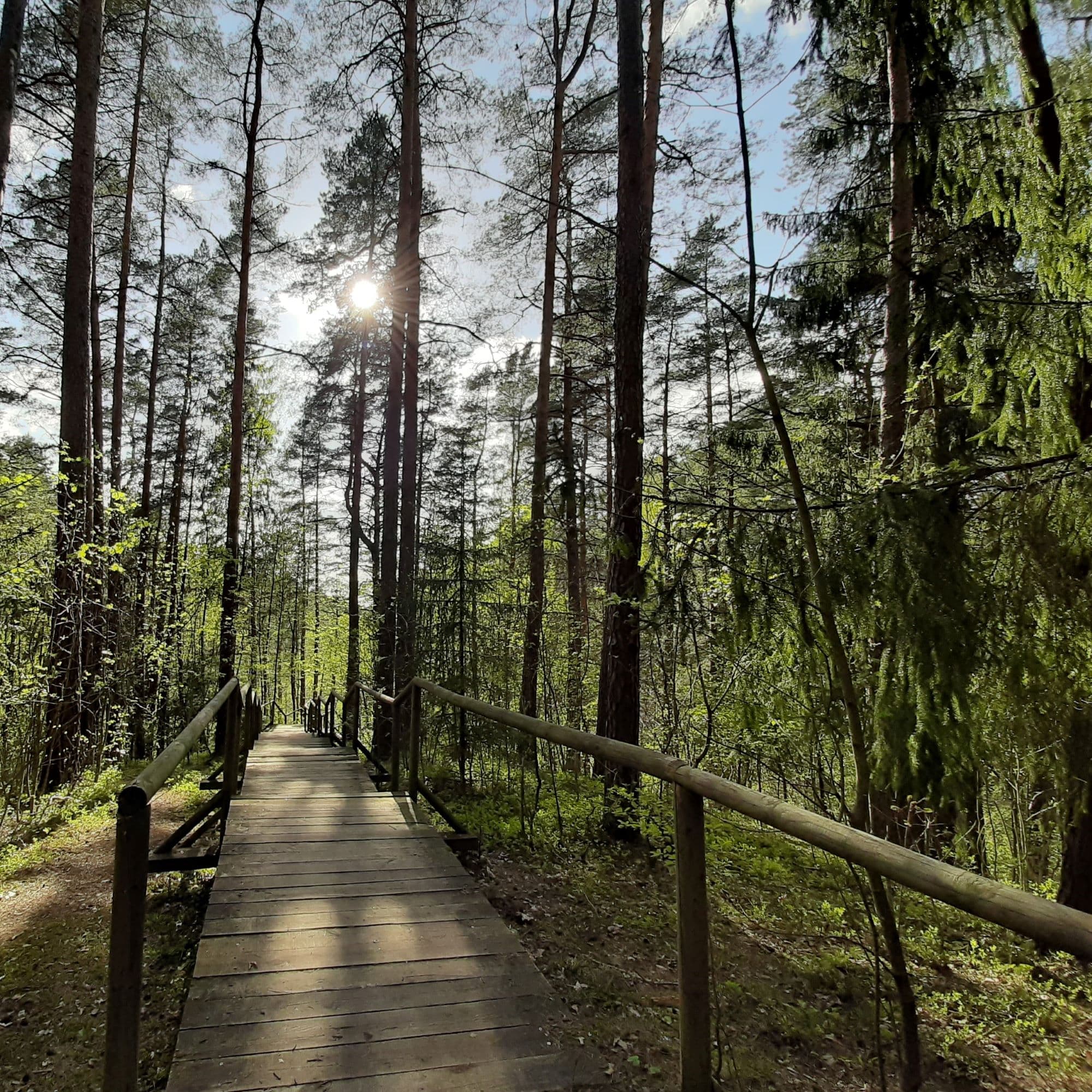
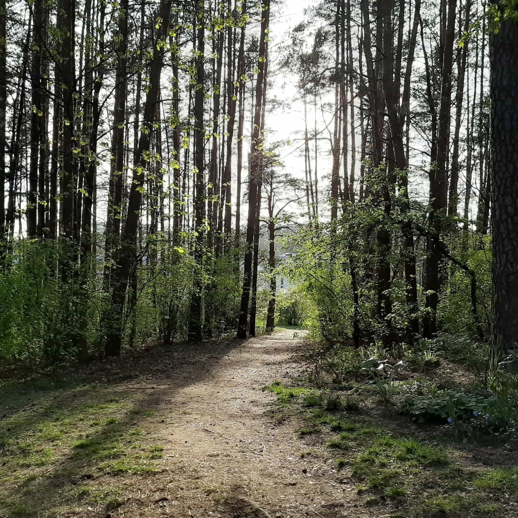
If you thought that Lithuania is a flat land, you should definitely check out this path. The part of the area you will visit is called Switzerland among locals. Do not expect to see the views of Switzerland though. What you will see is what Lithuanians imagined Switzerland to look like before they actually visited it J Anyways, you will definitely need some energy to go up the stairs or hills in this trail to enjoy the beauty of Antakalnis forests. On this route you can also find some bunkers (closer to Šilo street) from interwar period that were built for ammunition. These days they are more popular among bats. Walking down this path one might forget he is in the capital city as there is so much beautiful nature around!
How to get to this hiking trail from Stotis bus stop (the main bus & train stations - google maps):
-
Take one of the trolleybus (the red ones with wires) no. 2 (direction Saulėtekis) at bus stop Stotis (A);
-
Get off at Klinikų bus stop (around 34 min ride);
-
Now you will need to walk to the beginning of the path. Once you get off at Klinikų bus stop you will see Antakalnio poliklinika in front of you. Take Žolyno street which is on the left from Poliklinika building. It takes around 5 min walk up straight.
-
Cross the street so you would be on the left side of the road. When you see Vieversių bus stop look for the path to the forest. Take the path and you should get to the cognitive path. Here is the map of the exact route: map
-
You can go back to the city with trolleybus No. 2 if you go back to the starting point.
You can also catch trolleybus no.2 in other bus stops if you stay in the city center like Karaliaus Mindaugo tiltas bus stop close to the Cathedral square or Kudirkos aikštė. Trolleybus No. 2 is pretty frequent as it goes to the university campus. Just be aware it might be busy during peak hours.
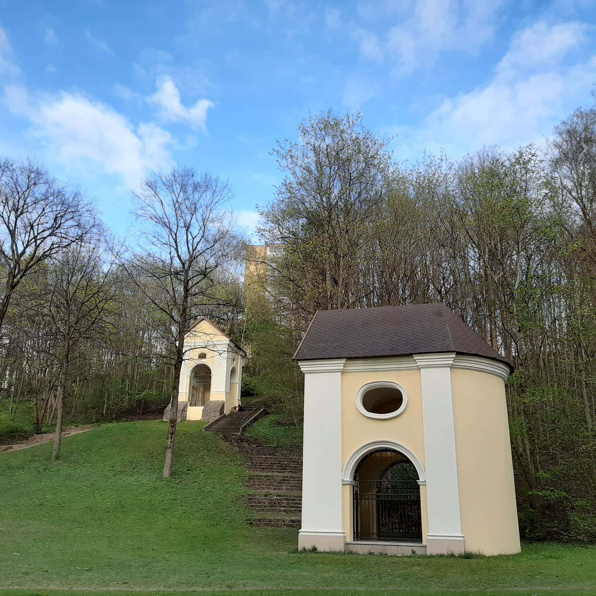
Vilnius Calvary Way of the Cross in Verkiai Regional Park
Distance: 7,2 km
Trail starts at: Pušyno 23 - Google maps
Mount of Olives, Mount Zion, Golgotha Hill. Sounds like I am talking about Jerusalem, right? Well, not really. You can find these hills in Vilnius Calvary Way of the Cross! Originally this pilgrimage road was made in the seventeenth century to replicate the road of the last journey of Jesus. The stations were built to replicate the topography of Jerusalem at the time Jesus lived there so believers could walk the road without going to Jerusalem. Unfortunately, under Soviet rule the original Calvary stations were blown in 1960s. The Stations were rebuilt only in 2002. Today you can find 35 of them along the Calvary Ways of the Cross. They make it one of the largest Ways of the Cross in Europe. But it is not only the pilgrimage site! The path is situated in Verkiai Regional Park so it is surrounded by forests and hills. As the park is in the middle of the city, the place might get pretty busy with locals especially after work or during the weekends. The paths are quite wide as well so you might meet cyclists on the way despite some steep hills. The path ends close to a Church of the Discovery of the Holy Cross. If you want, you can go back to the city center, or still go further to Verkiai Regional Park to enjoy the nature in Vilnius.
How to get to the hiking trail from Stotis bus stop (the main bus & train stations- Google maps):
-
Take bus No. 1G at bus stop Stotis (K);
-
Get off at Baltupiai bus stop (28 min ride);
-
Once you get out of the bus stop you will see the stairs. Go down and turn right. Pušyno kelias is the first street on the left. Take Pušyno kelias to get to the beginning of the trail;
-
This is not a circular trail, so when you reach the last stop you will need to take another bus stop to go back. Find Kalvarijos bus stop on the main street.
The cognitive path of Old Villages within Vilnius
Distance: around 10 km
Trail starts at: Verkių g. 136 - Google maps, however if you go there by public transport start from Verkių Riešė bus stop.
You can download the full trail map.
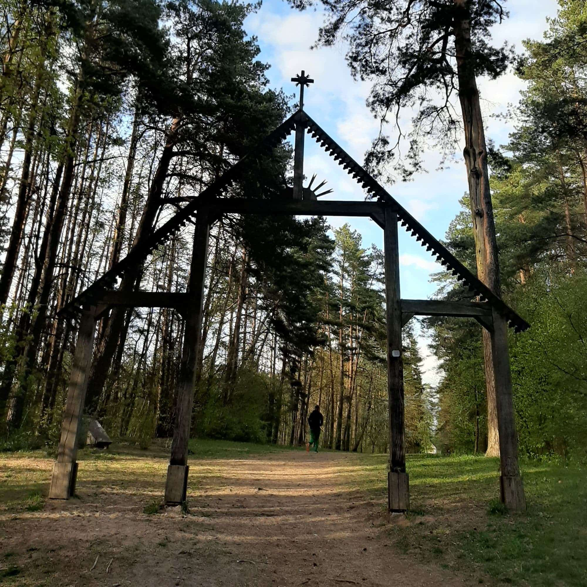
This is a brand new circular trail in Vilnius opened in October, 2020. This hiking trail offers a variety of scenery. You will pass forests, small villages/old Vilnius neighbourhoods, some fields, the bank of the main river Neris, smaller rivers and even a lake. Those 10 km will not be boring at all as one scenery will be changing another quite ofthen. It is quite easy to follow the route as there are arrows along the way clockwise, but you can also download the map to you phone. Unfortunately, all the information stands are only in Lithuanian. However this should not stop you from enjoying the views.
There is no bus stop close to the first stop of the route. However you can start anywhere you want. We recommended to start from Verkių Riešė bus stop.
How to get to this hiking trail from Stotis bus stop (the main bus & train stations - google maps):
-
Take bus no. 1G (direction Santariškės) at bus stop Stotis (K);
-
Get off at Kalvarijos bus stop (around 31 min ride);
-
Change to the bus No. 36 (direction Pagubė)
-
Get of at Verkių riešė bus stop (around 12 min ride)
-
You will need to go back a little bit after getting off the bus and turn to the first street on the left(Verkių riešė street). Now check the map of the route you downloaded to start the route clockwise and look for wooden polls with an arrow pointing to the right direction along the way.
After finising the route go to the bus on the other side of the street. You can also get to all these hiking trails in Vilnius by UBER or BOLT. But if you want to have more of a local experience in Vilnius, use the public transport. You can buy tickets from the driver (1 EUR) or you can download Trafi App to find all the lines online and buy tickets on your phone (0.65 or 0.90 EUR).
Here are four hiking trails we recommend you to try while in Vilnius. If you have walked all of them already, you can challenge yourself with 100 km trail around Vilnius. This trail was introduced to citizens of Vilnius after the first quarantine in 2020. You can actually walk all around Vilnius following this path. 100 km is a lot though. Most of the people just divide it into smaller sections. You can find all the information on a page dedicated to 100 km trail around Vilnius.
Enjoy hiking in Vilnius!